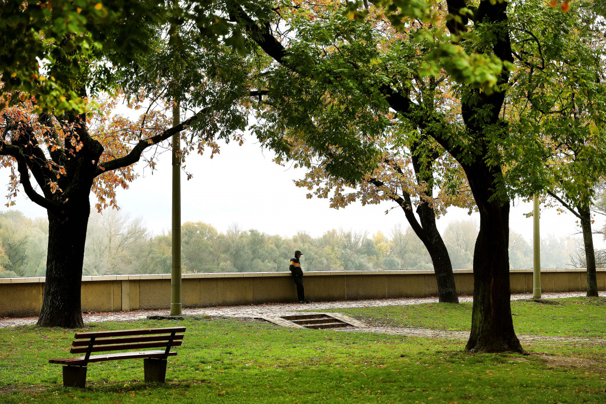
On Friday, rain is expected again in several places, on Saturday and Sunday you have to prepare for changeable weather, as the temperature will drop day by day.
On Friday, the sky will be mostly cloudy or overcast, and overall, periodic rain and showers are expected in several places, and significant amounts may fall in several places. From the late afternoon and evening hours, a change in state of matter can also occur in mountainous landscapes. The northwest wind will be strong, increasing to gales in a large area of Transdanubia. The highest daytime temperature is between 6 and 12 degrees.
On Saturday, the eastern and northeastern third of the country will still have a very cloudy sky, with sporadic rain and showers, and then the cloud cover will thin out. Elsewhere, cloud transitions can be expected with several hours of sunshine and only a few places will have showers. In the mountains, as well as in the northeastern and eastern parts of the country, there may be sleet or snow showers. The northwest and north winds are strong, mainly in the Transdanubia and in the northeast, accompanied by stormy gusts. The lowest night temperature is usually expected to be between 0-5 degrees, in some places sheltered from the wind, minus 1 or minus 3 degrees can be measured. 3.9 degrees likely in the early afternoon.
Patches of fog may form in regions sheltered from the wind on Sunday morning. During the day, mainly veil clouds are expected at first, then thicker clouds of a front may pass over the country from the northwest to the east, and in places, there will be light rain and showers. In the mountains and in the northeast, snow showers and snow showers may occur in some places. The northwesterly and then southwesterly winds pick up at times. In the morning, it is mostly minus 4 and plus 1, in parts protected from the wind it can be minus 5 or minus 6 degrees. The peak value is likely between 4 and 9 degrees.
(MTI)


