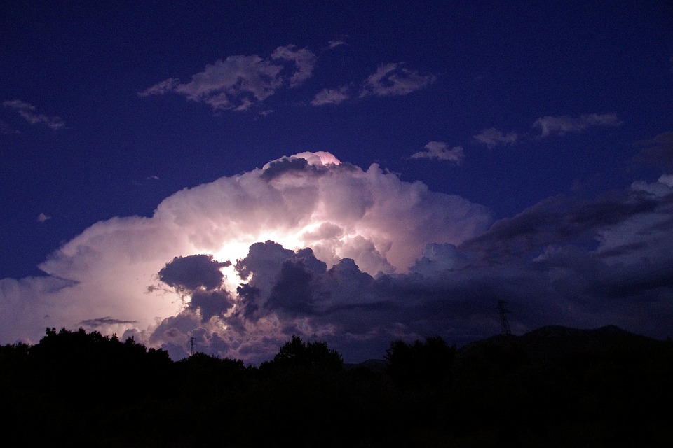
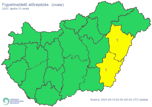
The cold weather reached Hungary with stormy wind and heavy rainfall. According to the forecast of the National Meteorological Service, the sky may thunder on Tuesday afternoon and late afternoon in the Trans-Tisza region, especially in the Berettyó-Körös region.
In Hajdú-Bihar county, there is a first-degree danger signal due to thunderstorm:
On Tuesday, the air movement will continue to intensify, and in Transdanubia, and from the afternoon to the northeast, there may be stormy gusts of wind. Especially in the foothills of the Alps, in the Bakony and in the Lake Balaton area, the strength of gusts of wind can reach or even exceed 90 kilometers per hour. On Tuesday night, the air movement loses some of its strength, but strong, sometimes stormy gusts of wind can still occur.
Due to the danger of stormy winds, a second-level warning was issued for Győr-Moson-Sopron, Vas, Veszprém and Zala counties, and a first-level warning for Borsod-Abaúj-Zemplén, Fejér, Komárom-Esztergom, Somogy and Szabolcs-Szatmár-Bereg counties.
By Tuesday midnight, significant rainfall is expected in most parts of the country. The precipitation will arrive in Szabolcs-Szatmár-Bereg county no later than (Tuesday afternoon), so the larger amount is expected there from Tuesday evening. By Tuesday midnight, in most parts of Transdanubia and the Southern Great Plain, the regional average is mostly 10-20 millimeters, in the wider area of the capital, in the Northern Great Plain and the Northern Central Mountains 20-30 millimeters, but more than that may fall locally.
Due to the heavy rain, a first-level warning was issued for Budapest and for Pest, Borsod-Abaúj-Zemplén, Fejér, Heves, Jász-Nagykun-Szolnok, Komárom-Esztergom and Nógrád counties.
In the morning in the Bakony, and then on Tuesday afternoon, from the west in Transdanubia, even in the plains, it can be replaced by snowfall and snowfall. From Tuesday evening, snowfall may occur in the mountainous landscapes to the east.
In the lowlands (Transdanubia), during the period of intense rainfall, the formation of mostly temporary, melting, thin snowflakes is likely. In mountainous landscapes, above 300-400 meters, several centimeters of fresh snow can fall, in higher places (especially in the higher peaks of the Transdanubian Mountains, in the higher peaks of the Mecsek above 400-500 meters). From Tuesday evening, the snow layer will also grow rapidly on the peaks of the Northern Central Mountains.
The highest temperature is expected in Transdanubia between 3 and 7 degrees, east of it between 7 and 14 degrees, but it may be a little warmer than the eastern border. In the east, the temperature has been falling since the late hours of the morning, the meteorological service said.
debreceninap.hu


