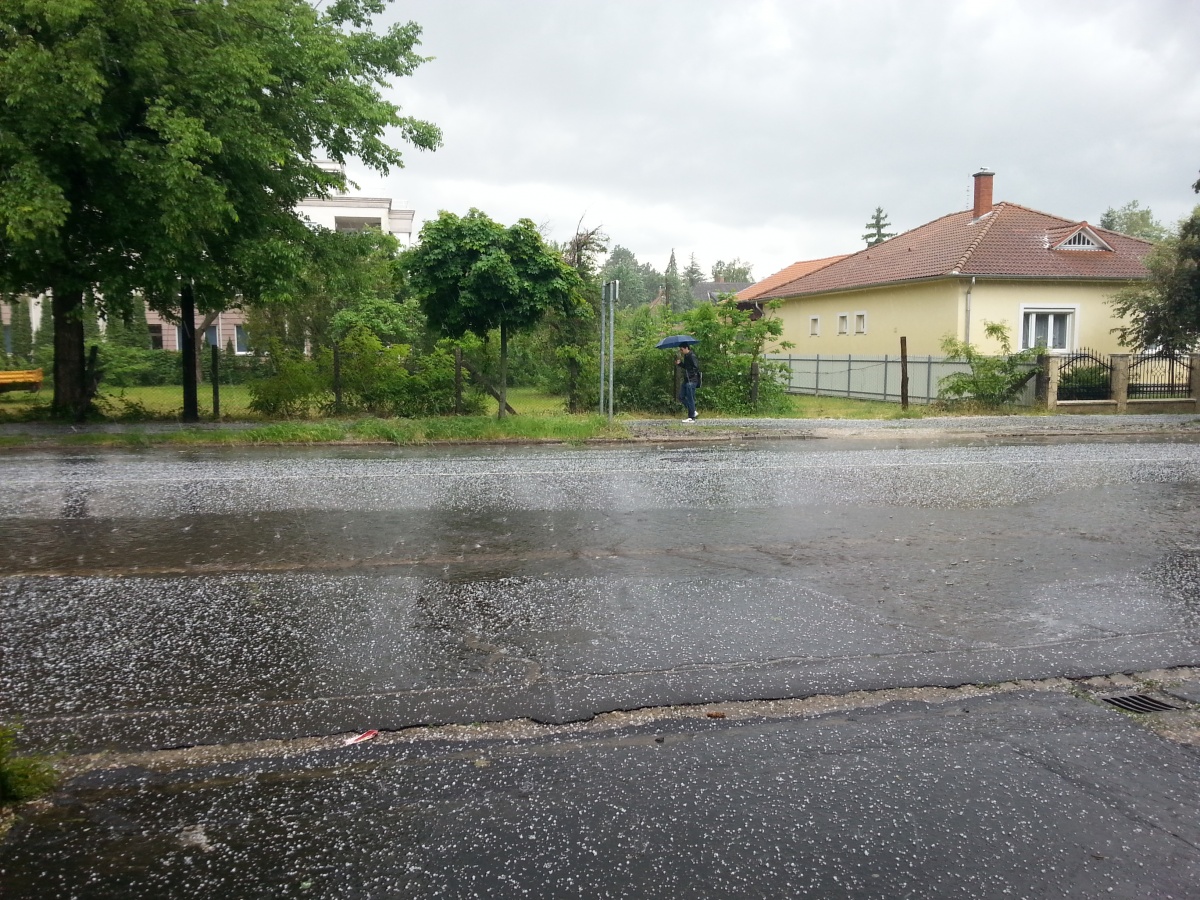
On Tuesday, the temperature could be 22 degrees in the southwest, and 18-20 degrees in the eastern part of the country, but by Wednesday a cold front will bring significant cooling across the country, according to the Időkép forecast.
The strong front will result in strong, stormy winds, abundant precipitation in many places and significant cooling. On Wednesday, sleet and snow may fall in the Northern Central Mountains and Tiszántúl, and even several centimeters of fresh snow may accumulate in the mountains, they write.
On Tuesday, however, we will still be in the warm sector of the cold front, so real spring weather awaits us. It will be the warmest in the southwest, where it can be 21-22 degrees.
On March 15, it will be cloudy and overcast in most parts of the country, only in the western and northwestern regions the clouds may break up in the afternoon hours. In the beginning, rain is likely in many places, in the afternoon in the central regions, the Great Plains and the Northern Central Mountains, but in some places, it may also temporarily snow and sleet. In the afternoon, only a small running shower may develop in the west and northwest. The north-northwest wind will be strong and stormy in many places. During the day it is expected to be 2-10 degrees. There will be areas east of the Danube where the afternoon can be colder than the morning.
The forecast of the National Meteorological Service:
debreceninap.hu


