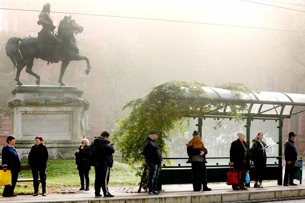
Precipitation will arrive in several waves this week. In the first days, it is still typically expected to rain and sleet and snow can only occur on the higher mountain peaks, then in the second half of the week, the chance of sleet and snow will increase in the western and northern parts of the country. From Thursday, the degree of daytime warming will decrease, and at the end of the week, a peak value between 0 and plus 7 degrees Celsius is likely during the hottest hours.
On Monday, the sky will be very cloudy or overcast, in the afternoon the clouds may thin out in Transdanubia. The precipitation zone expands to the northeast and east, and rain is expected in most places, but in the Transdanubia region and the Northern Central Mountains, snow is likely, and snow is likely in the mountains. The southerly wind will pick up in a large area, and it will also strengthen in the Tiszántúl and North Transdanubia. The highest daytime temperature is likely to be between 2 and 10 degrees, the weather will be milder in the southeast.
Mostly cloudy or overcast weather is expected on Tuesday, but the clouds may temporarily break or thin even over a larger area. During the day, there may even be a long break between the rain waves coming from the southwest. In general, rain should be expected, and a change of state of matter is possible at most on the higher mountain peaks, possibly in the Alpokalja area. The south and south-westerly winds strengthen mainly in the east. The lowest night temperature is between 0 and plus 6, the highest daytime temperature is expected between 4 and 12 degrees, and the weather will be milder in the southeast.
During the day on Wednesday, the cloudiness may temporarily become more fragmented in several places. Rain is to be expected in several places, a change in the state of matter can only occur on the highest mountain peaks. In many places, the south and southwest winds accompany strong, sometimes stormy gusts. In the evening, the flow turns northwest across the Danube. In the morning, the temperature will be between 0 and plus 8 degrees, in the early afternoon between 5 and 14 degrees, and the weather will be milder in the southeast.
On Thursday, the weather will be very cloudy or overcast, with temporary thinning and breaks. Precipitation is likely in several places, with a higher chance in the eastern half of the country. In general, rain is expected, but the chance of sleet and snow gradually increases from the west and north. The northerly wind will strengthen in several places. In the morning, we can measure values between minus 3 and plus 6 degrees. Generally, 1.8 degrees can be expected in the afternoon, but the weather may be milder in the southeastern and eastern border regions.
Mostly cloudy or overcast weather is expected on Friday. In several places – more likely in the east – rain is likely, and the chance for a change in the state of matter increases as you move towards the west and north. The north wind is strengthening in many places. The minimum temperature is usually between minus 3 and plus 4, and the maximum can be expected between 0 and plus 7 degrees.
Mostly cloudy and overcast weather is expected on Saturday. Rain is likely in several places, and the chance of a change in the state of matter increases towards the west and north. The northerly wind is strengthening in many places. The minimum temperature is usually between minus 3 and plus 3, and the maximum is expected between 0 and plus 7 degrees.
On Sunday, there is a prospect of very cloudy or overcast weather. Mixed precipitation is likely in several places but in smaller amounts. The northerly wind is strengthening in many areas. Mostly minus 3, plus 3 in the morning, 0, plus 6 in the afternoon.
MTI
Photo: Yvette Frank


