Early Friday morning, a strong cold front will arrive from the northwest, bringing an end to the unseasonably warm January weather, reports Időkép.
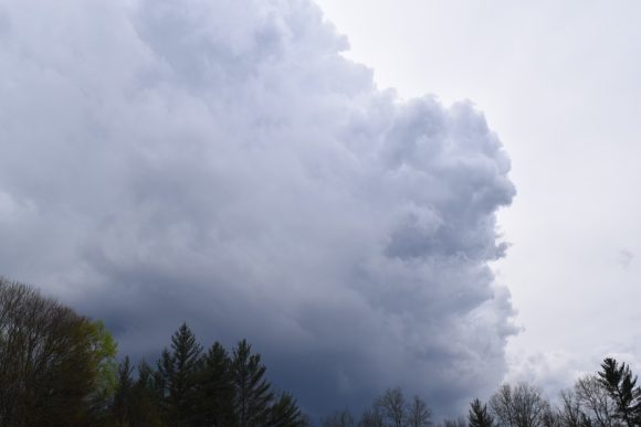
The wind will shift to the northwest and strengthen, with stormy gusts expected in several areas, particularly in Transdanubia, during the front’s passage. Clouds accompanying the front will bring rain and showers to many areas, which may later transition into sleet or snow showers. However, precipitation will gradually taper off, and any temporary snow accumulation is expected primarily in higher elevations. Even so, significant snowfall—several centimeters—is not anticipated.
Following the cold front, temperatures will drop significantly, with daytime highs ranging between 3 and 8°C.
The cooling trend will continue over the weekend. Daytime temperatures will remain between 0 and +5°C, while nighttime lows will dip below freezing nationwide. In calm, clear areas, the air could cool to as low as -10°C. The windy conditions will persist: strong to stormy gusts are expected in the northern and northwestern parts of the country on Saturday and primarily in Transdanubia on Sunday.
Despite the cold and windy weather, the weekend will bring abundant sunshine. Only scattered snow showers may occur in some areas, mainly in the northeast, during brief cloud passages.


